Beacon Avenue Safety Redesign: What South Seattle Neighbors Can Shape |
Seattle extends Beacon Avenue feedback to November 9; neighbors can weigh in on safer crossings and transit access |
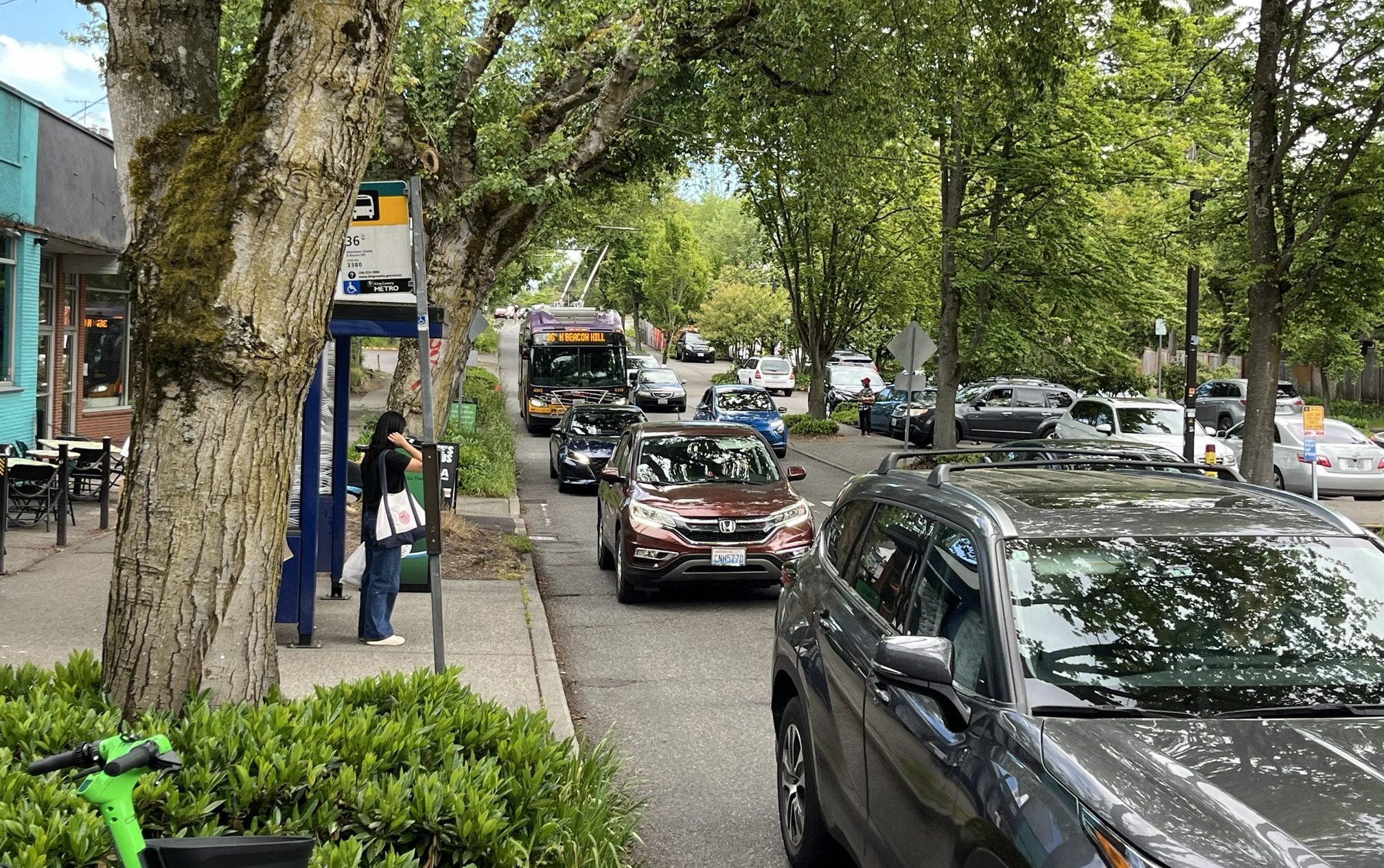
Beacon Avenue South is more than a route across Beacon Hill; it is how neighbors reach shops, schools, bus stops, and one another. That makes the city's latest street-safety design process a practical neighborhood decision, not just a transportation drawing. Seattle transportation officials are gathering feedback on the central segment of the Beacon Avenue South Safety Project. The city's November 2 update extended the survey deadline to November 9, 2026. The segment runs from South Spokane Street to South Myrtle Street, where the project is still in early design. Residents have an opportunity to describe the intersections, travel habits, and daily obstacles that a map alone may miss. |
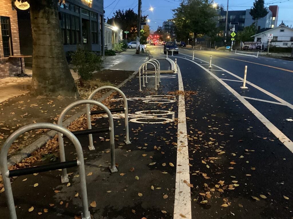 New bike racks on Beacon Ave S near S Stevens St. https://www.seattle.gov/ |
What is actually being planned? The city describes a combination of repaving and safety improvements for people who walk, roll, bicycle, drive, or use transit. Design work is expected to continue through fall 2027, with construction currently anticipated in 2028. Those are planning estimates, not a promise that every proposed feature has already been selected or funded for construction. The city says this work builds on improvements completed north of South Spokane Street in fall 2025. That earlier project is separate from the central and south segments now being discussed. Officials have identified concerns about speeding, difficult crossings, accessibility, and reliable transit as recurring themes from earlier community input. For a parent walking with children, the issue may be how long it takes to cross a wide intersection. For a rider with limited mobility, it may be the curb ramp, the distance to a stop, or a transfer that feels unsafe. For a business owner, it may be whether deliveries and customer access can work alongside safer walking routes. Why neighborhood details matter Street projects often involve tradeoffs, and the people who use a corridor at different hours notice different problems. A bus rider traveling before sunrise sees conditions that a midday survey visit might not capture. A person crossing near a school may know where drivers fail to yield or where visibility disappears during rainy weather. A shopkeeper may understand how loading space, parking turnover, and pedestrian traffic affect a small storefront. Those experiences are useful evidence for designers, even when neighbors disagree about the best solution. The project materials highlight safer connections to schools, parks, local businesses, and the Beacon Hill light-rail station. None of those goals means every requested improvement is guaranteed. Feedback is most valuable when it identifies a specific location, a recurring problem, and a realistic improvement to examine. Three practical questions to bring First, which crossing feels least safe, and does the concern involve turning vehicles, speed, lighting, visibility, or curb accessibility? Second, which bus stop or route connection is hardest to reach, especially for elders, wheelchair users, or families with strollers? Third, where might a proposed change affect delivery access, loading, bicycle movement, or neighborhood traffic patterns? Residents can describe a regular trip rather than trying to speak in engineering terminology. A short account of walking from a home to a grocery store may be more useful than a general request to fix traffic. People who rarely use an online survey can ask the project team about accessible or translated materials and opportunities to participate. How to participate The city has extended its online survey through November 9, 2026. The October 29 virtual meeting has already taken place; the city says its question-and-answer document is being prepared. The survey is offered in English, Spanish, Simplified and Traditional Chinese, Vietnamese, Tagalog, Amharic, Somali, and Tigrinya. Check the project page for current access instructions and updates. The project team also lists a contact email for requests for project files, translated materials, or a walkthrough of the information. Neighbors can compare the central and south segment descriptions before commenting so their feedback reaches the appropriate project area. Community organizations, schools, merchants, and transit riders can help by sharing the survey without suggesting that any one design outcome is predetermined. The most useful outcome of this stage is a clearer record of what people need before final designs are locked in. Beacon Hill's everyday journeys deserve a voice while there is still time to influence the plans. Official project information: https://seattle.gov/transportation/projects-and-programs/current-projects/beacon-ave-s-safety-central-segment Image note: Illustrative Seattle pedestrian street scene, not a photograph of the proposed Beacon Avenue project. Photo by Josh Hild on Pexels. |
More from WealthWire South End
South Seattle Digital Equity Grants: Up to $45,000 Available
Digital equity grants of up to $45,000 are open for eligible South Seattle groups. Check the October 27 session and January 15 deadline.
South Seattle Utility Discounts: Check Eligibility Before Winter
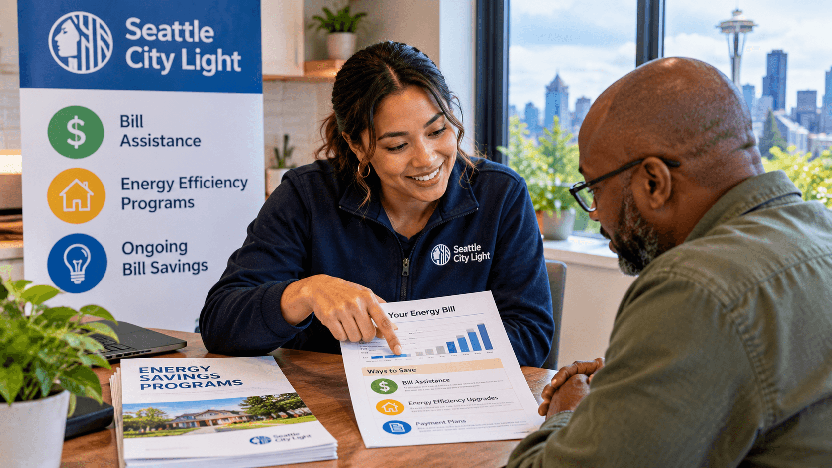
utility discount program: Seattle City Light customers may qualify for substantial ongoing bill reductions and emergency help

South Seattle Businesses: Free Consulting Beyond the Usual Advice
small business consulting: A Seattle program offers eligible small businesses practical accounting, marketing and loan-readiness support

Rainier Valley Rainy-Season Readiness Starts at the Storm Drain
storm drain care: Seattle's Adopt-a-Drain program gives neighbors a practical way to reduce localized flooding risks
0 Comments
Join the conversation
Be the first to comment
Share your thoughts above.